After a spectacular time in Gros Morne it was on to Twillingate and we were wondering how could it get any better. It was about a 5 hour drive and our two night stay in Twillingate was at a provincial park with only 55 sites and the…uhhhh…unique name Dildo Run. We got to our site…a little tight but I am getting more and more used to squeezing the rig in to tight spots…my increased knowledge of turn radius and angles along with Di hollering “STOP” all helps.
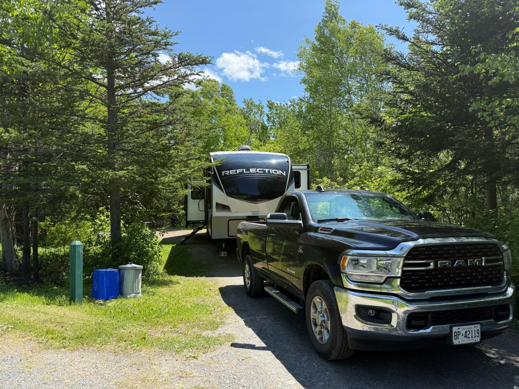
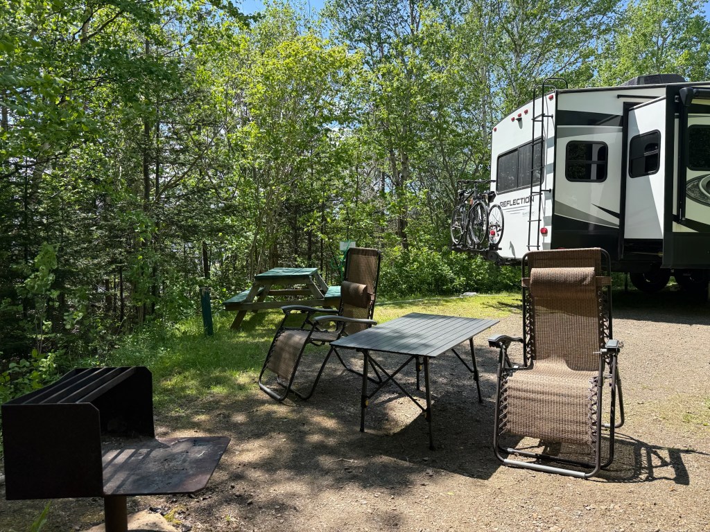
It was quite a nice site and private. We ran into another “new” challenge. When I connected up the water there wasn’t enough pressure to get the water to run through the system. I went and spoke to the park ranger and he came by with another fellow and they said some new equipment had been added. They went to the pump house and tried increasing the pressure but it still wasn’t enough. The alternative was to fill the fresh water tank and use it like we do when we are dry camping. Thankfully there was enough pressure to get the water into the tank but it took quite a while 😊.
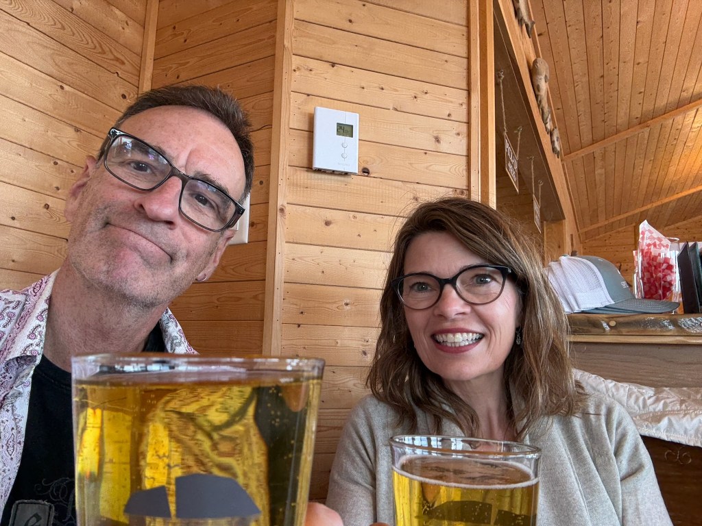
After getting all that sorted out we headed into town and had a beer at a local place called the Wharf that had a local guy playing, very cool.

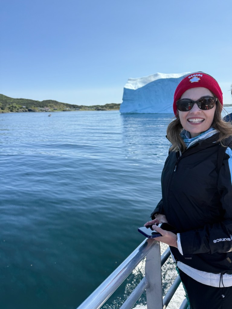
The next morning was our Iceberg tour which we had booked some time ago. We were out from 9:30 -12:30 and it was a beautiful day.

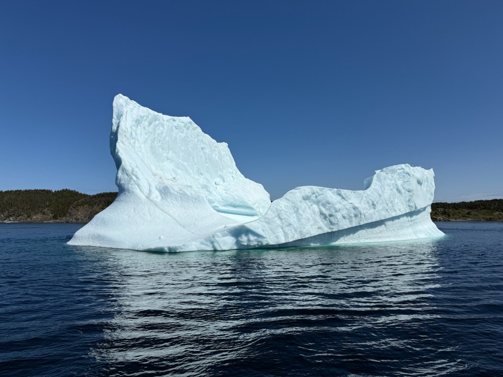
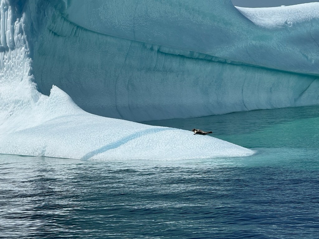
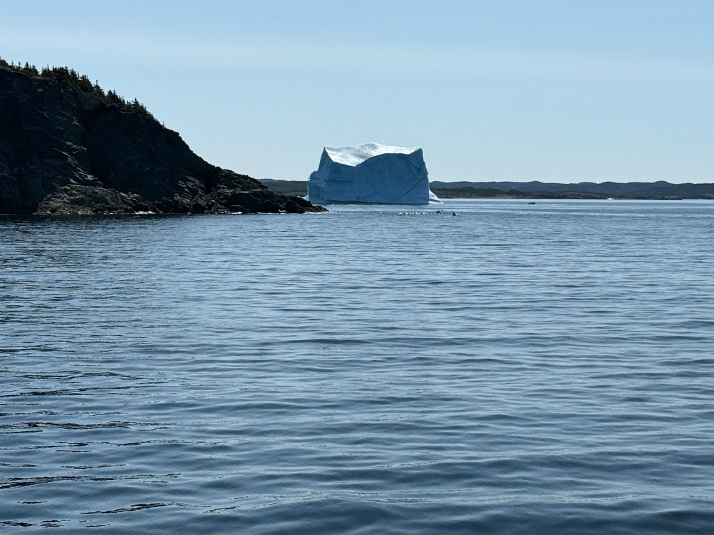
It was quite something and there was a seal visiting(upper left pic). It’s also amazing how it made its way into the harbour. It’s a little tough to see in the pic below but off to the left is a small settlement….quite a view for your morning coffee. They said it would be gone in 3 weeks.
That afternoon we had a hike…again an interesting name….
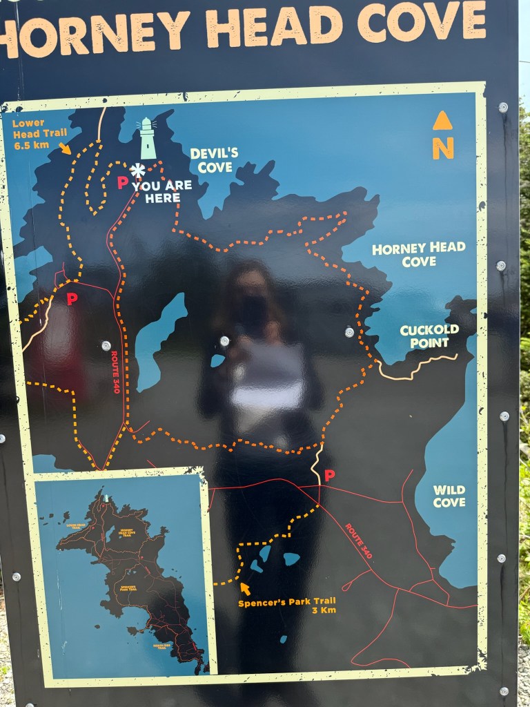
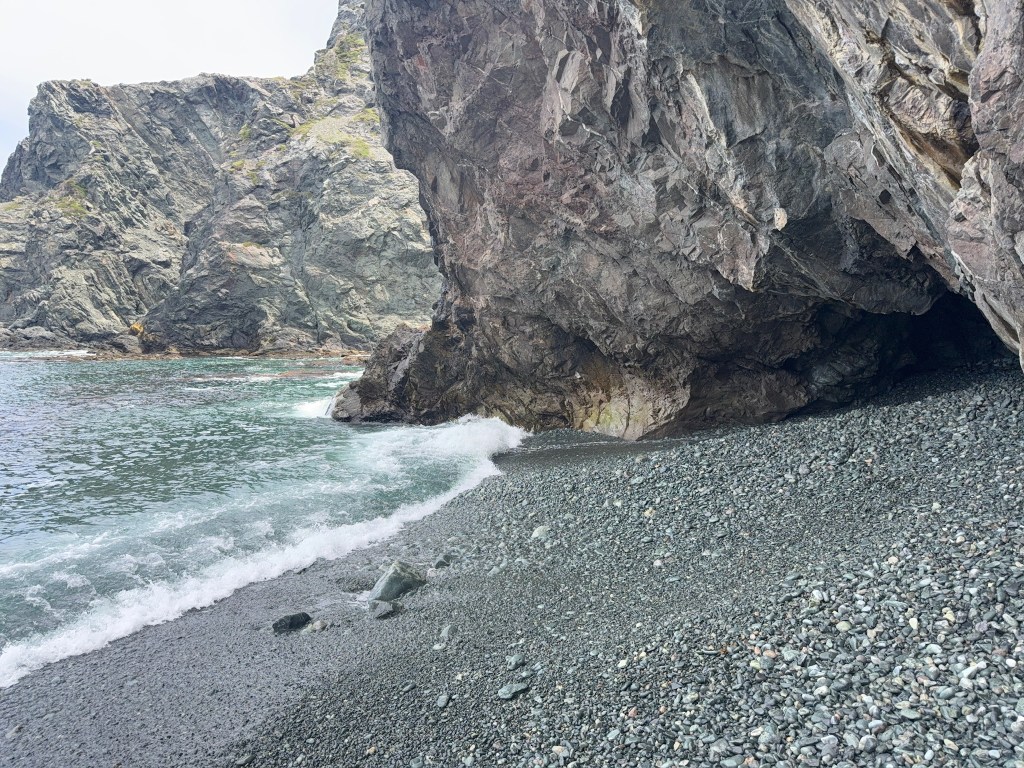
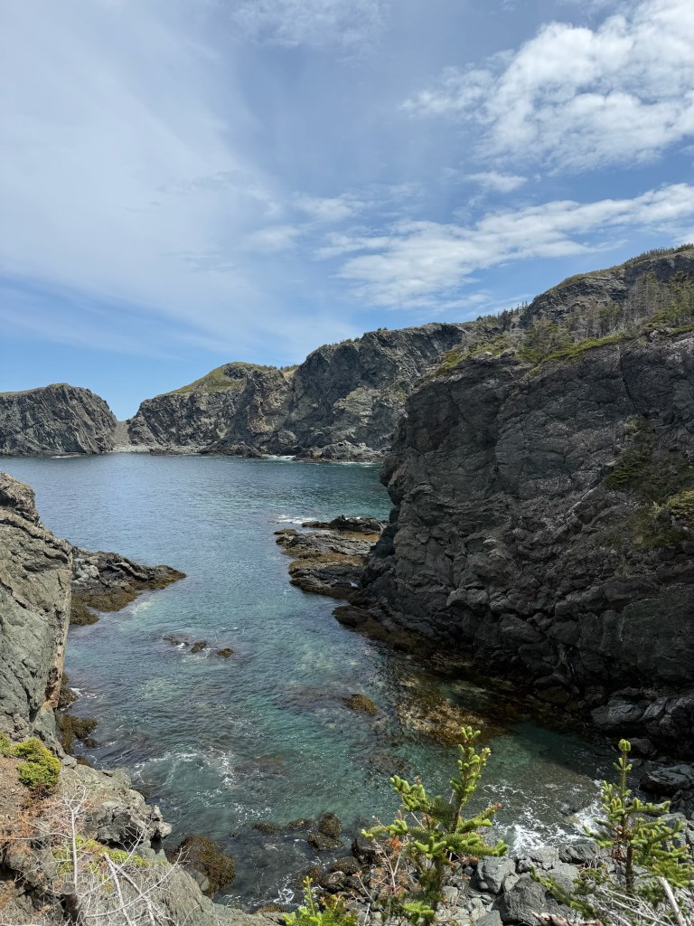
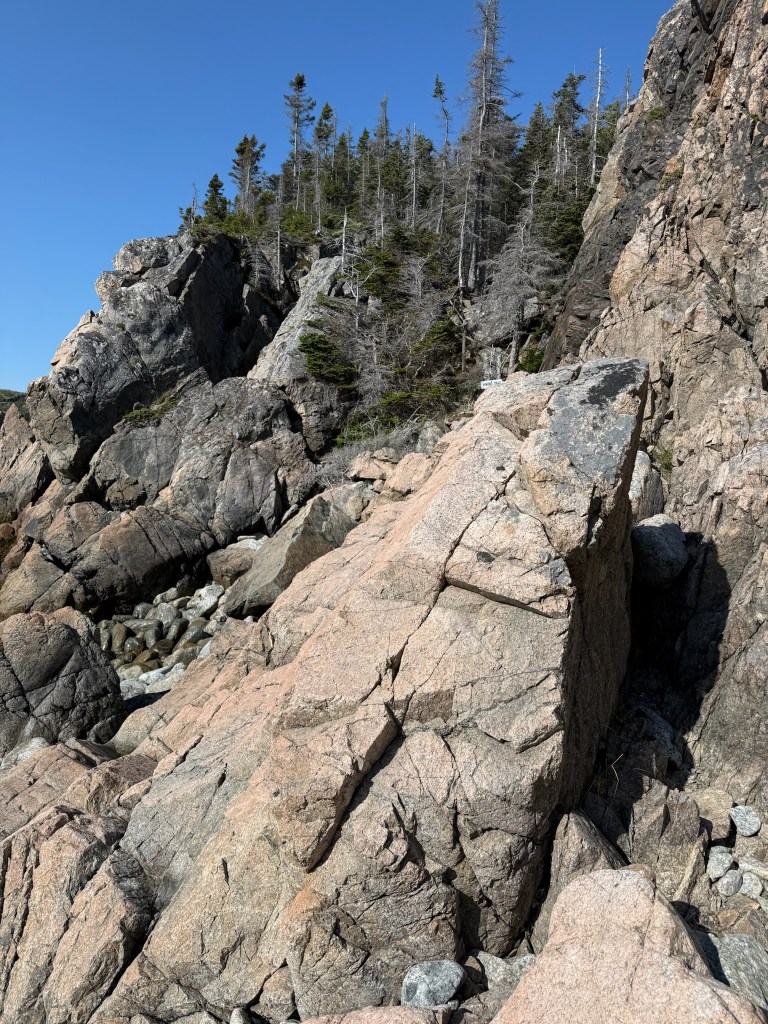
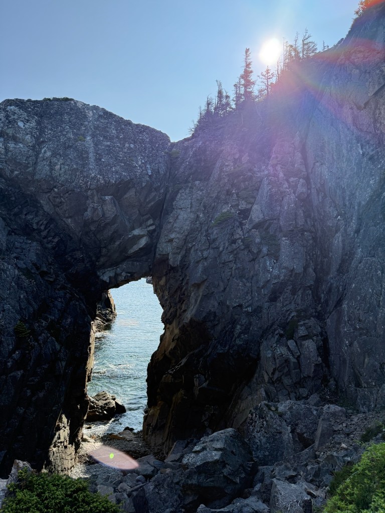
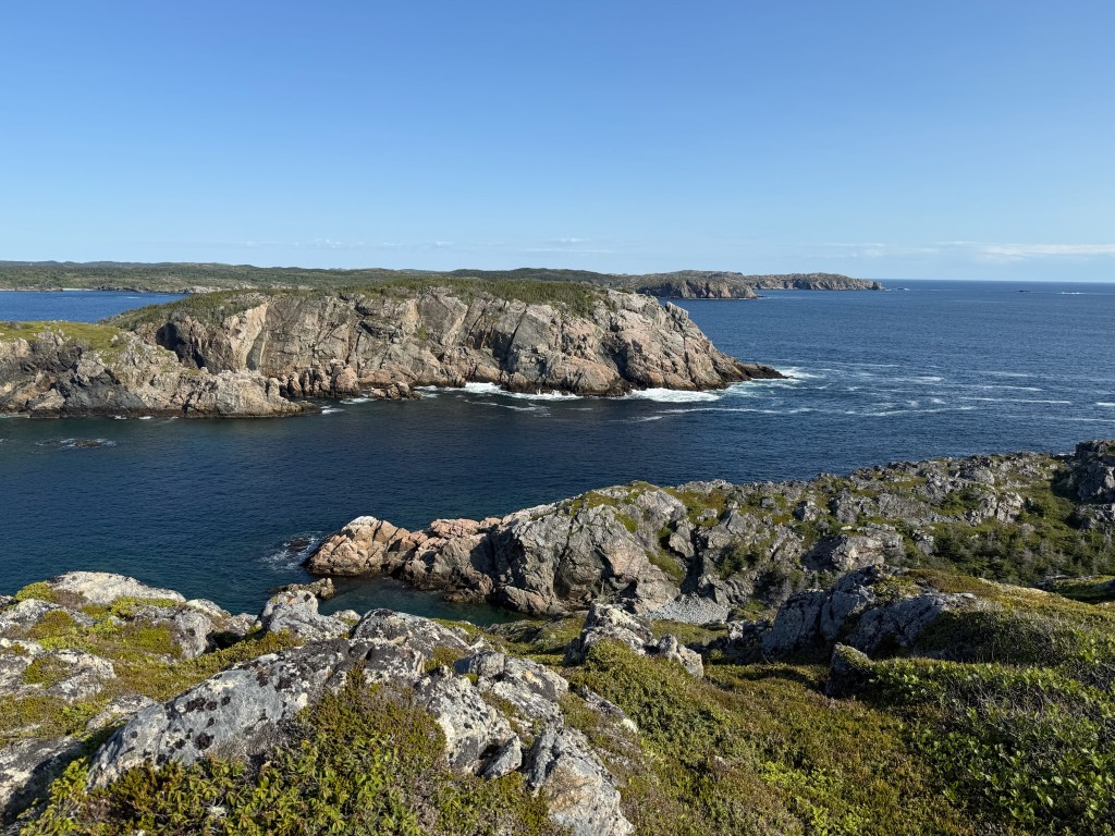
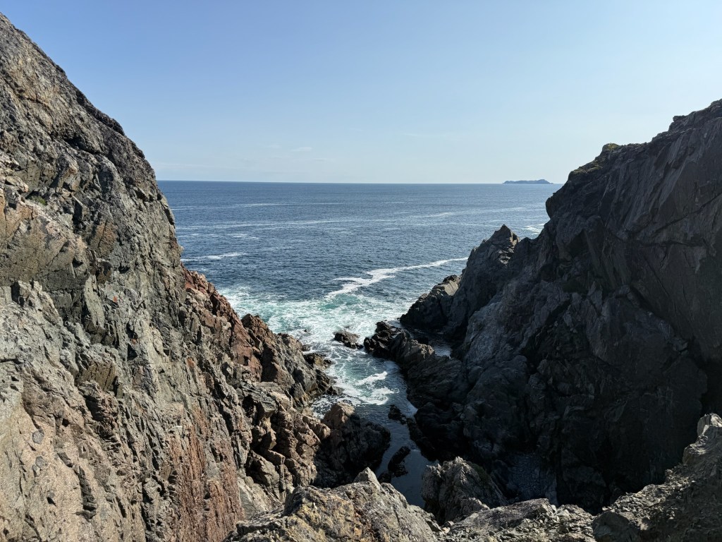
….and another challenge. The hike started out fine, we didn’t start at the light house, we started down at the “P” mid right side. This was a beautiful trail as well and at times quite difficult. There was an ocean cave and some inlets and great views.
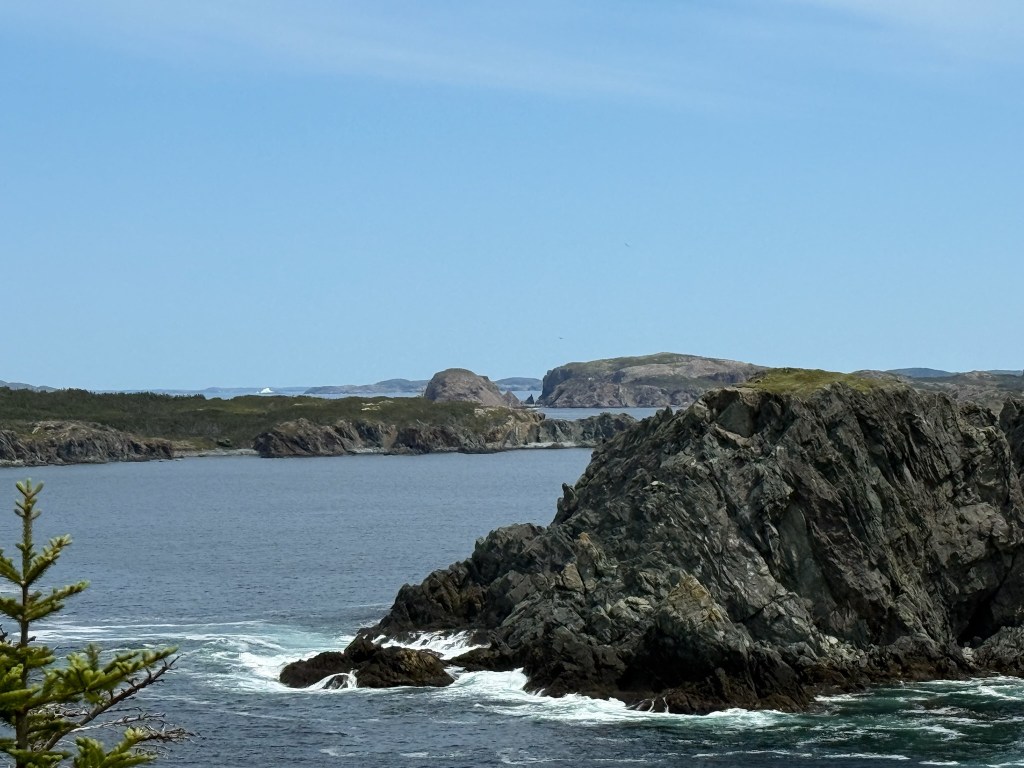
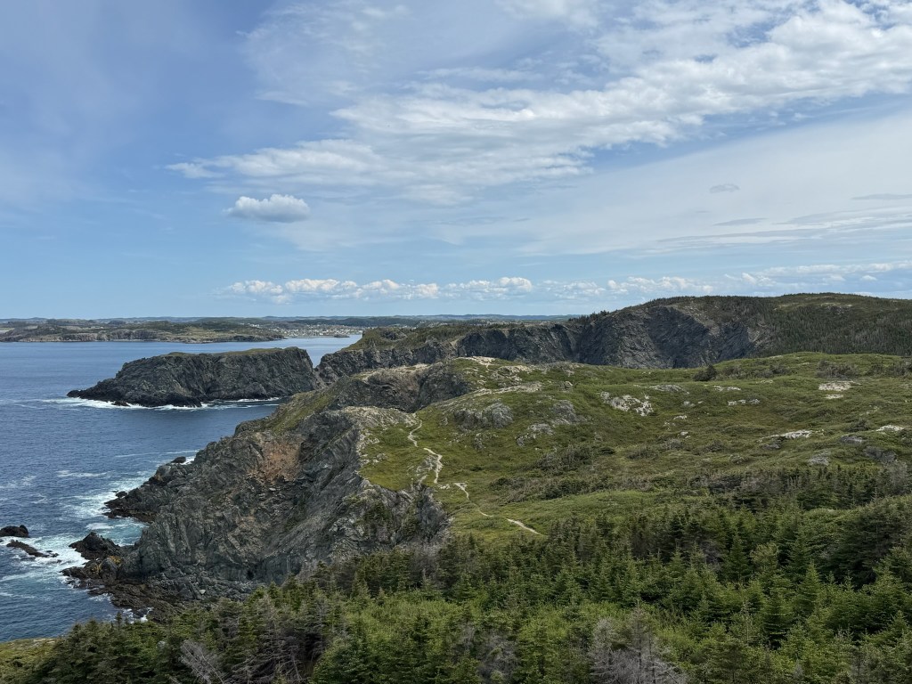


The challenge was when we got to the lighthouse. We were a little over half way done the 9 km but it wasn’t marked very well as to where to continue. I have had some challenges over the years in Algonquin when we have been paddling around looking for the put in to start a portage but this was crazy. We started walking down the highway from the lighthouse…nope…we then started down from the lighthouse along two trails not named the same as the one we were on. We again made our way out to the highway and figured out how to get back to the truck. Then when were about 2km from where we parked there was a sign to the left of the highway with a sign for re-entering our hike path. It was quite surprising to find a route so poorly marked but in the end we did make it back to the truck and headed back to camp.
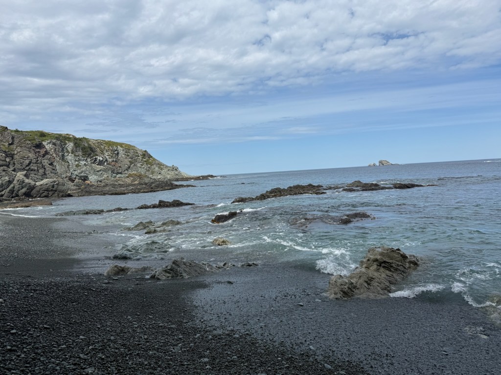
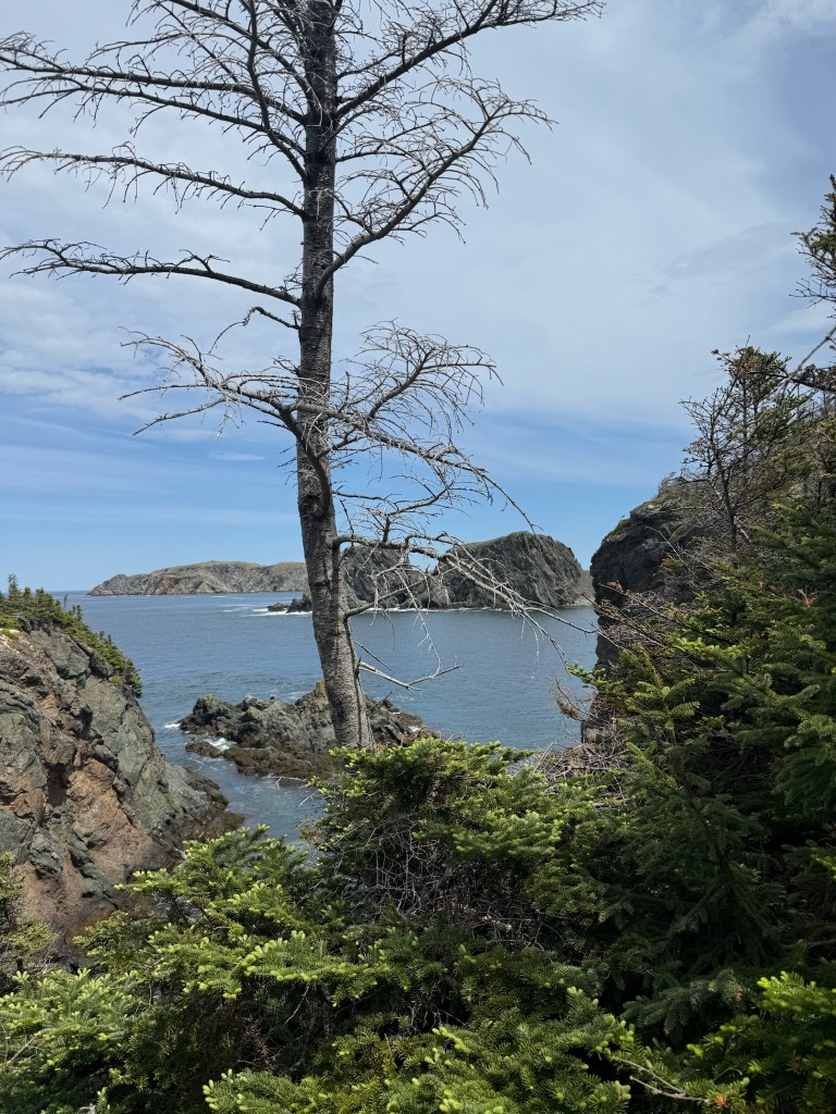
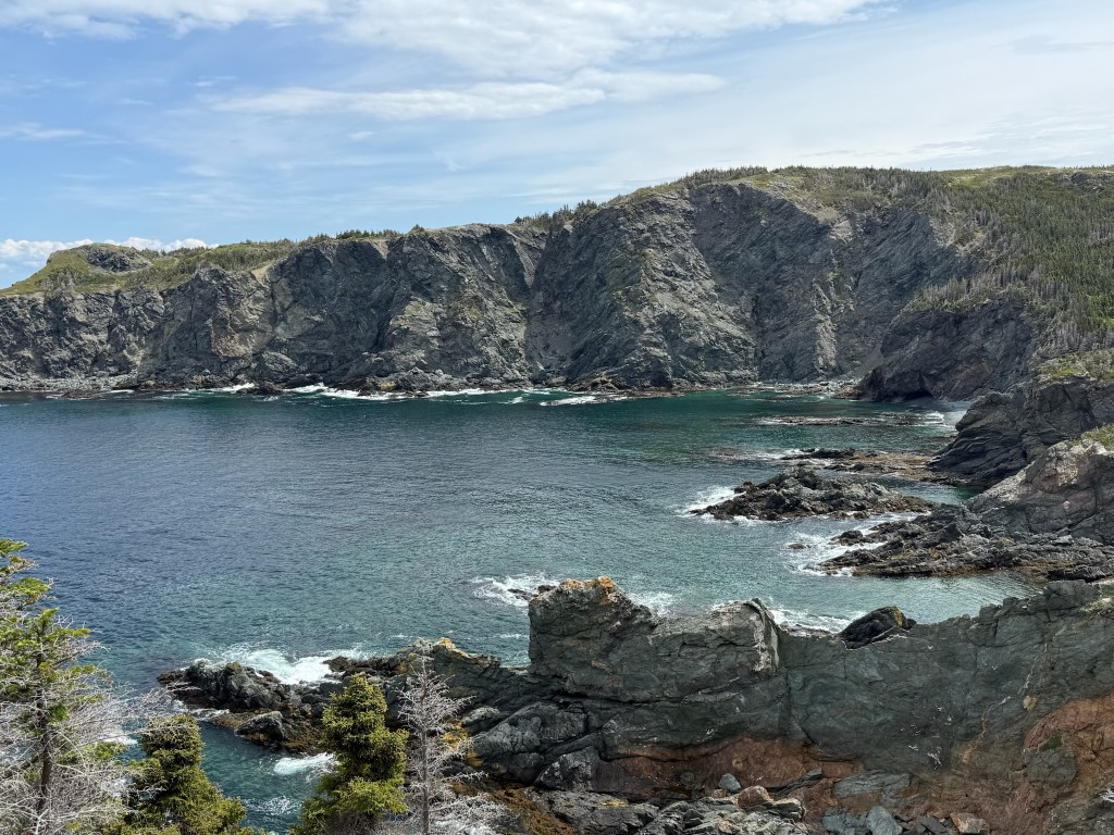
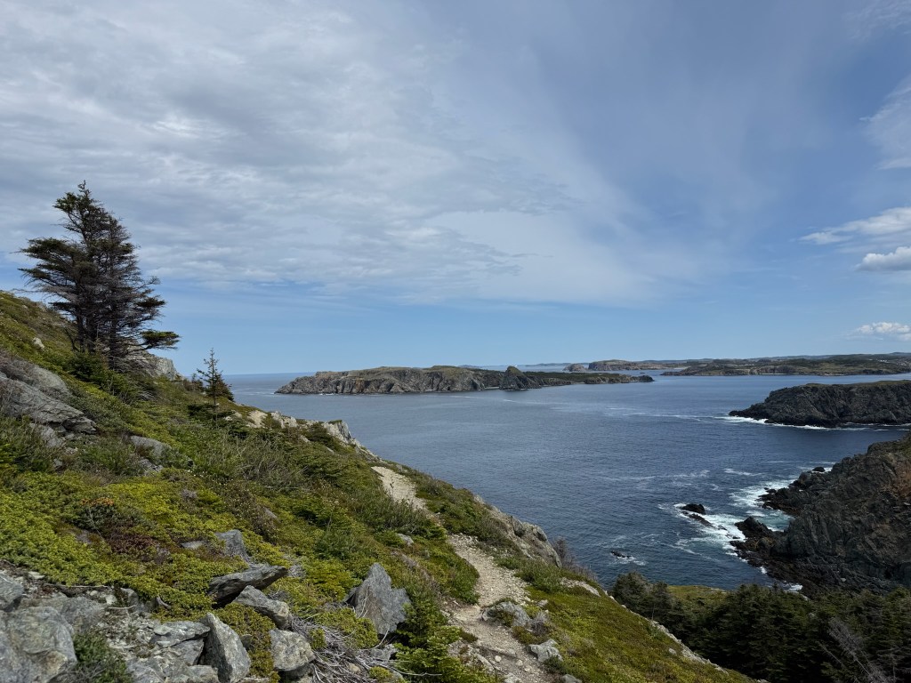
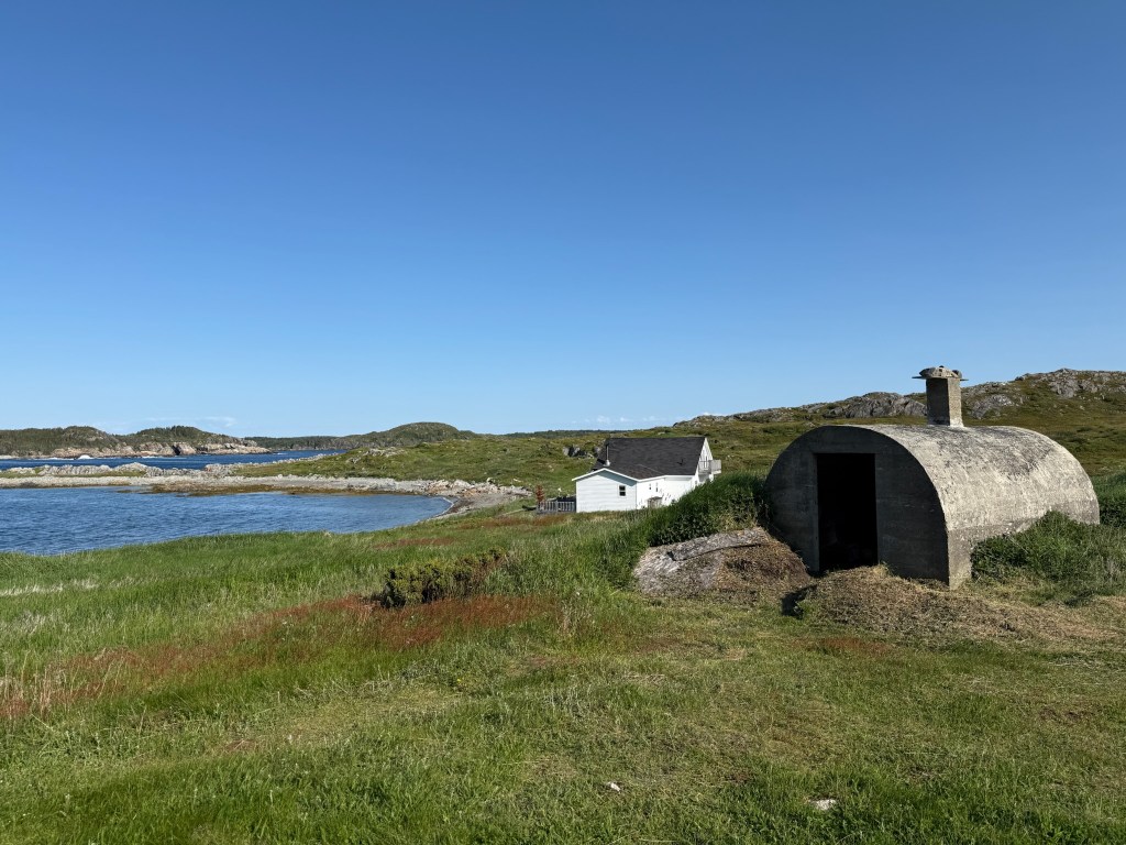
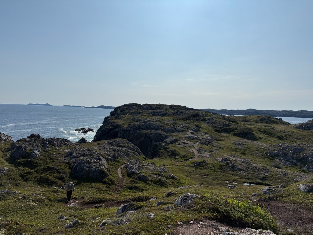
The next morning we were up at 6 to get to a hike we wanted to do by 8. This was the Lower Harbour Cove and it was around 5km, if you stay on route 😊. Once again we struggled with the signage but this time it wasn’t quite so off and we found our way back after a slight but beautiful detour.
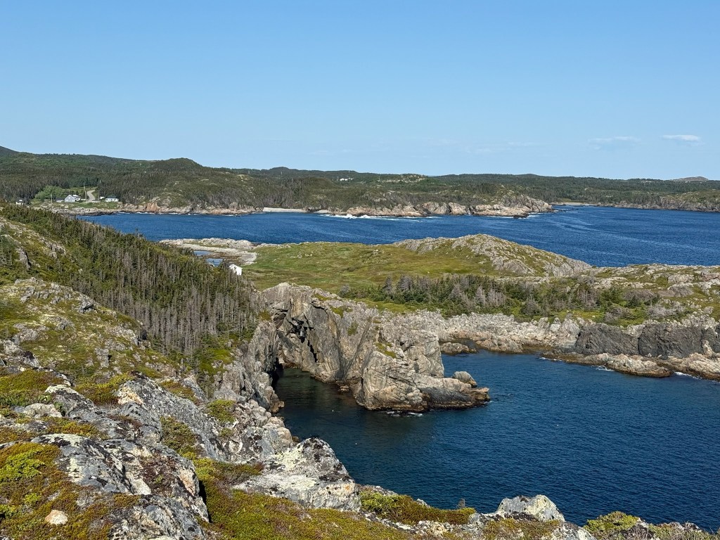

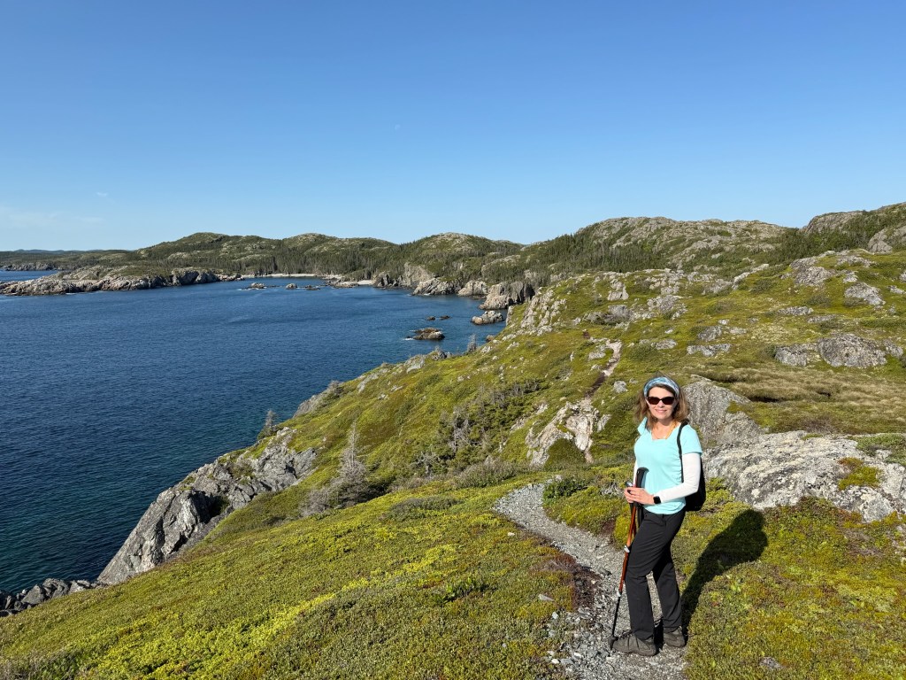
The image second row middle with Di on the rocks was part of an unplanned detour that created a cool view and tough footing but after we crossed the rocks and ascended up a bit we realized we were on an offshoot and doubled back and found our way on the right path.
After the hike it was back to camp to hook up and get on our way to Terra Nova.

Leave a comment